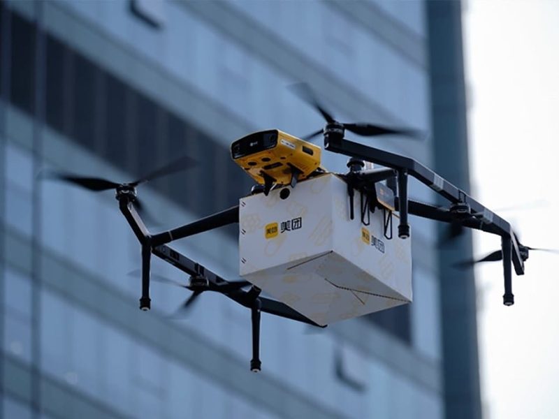
Hong Kong is a city of high-rise buildings, slopes and bridges, which makes it a natural place for drones that fly close to structures. A drone is a carrier platform: with the same flight controller and positioning system it can carry a camera, a LiDAR or a parcel box for different jobs.
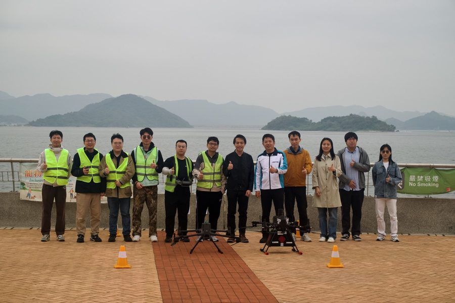
Club teams start from a reliable platform, then choose an application, write a proposal and develop it. All flights follow the club safety rules and Hong Kong's rules for small unmanned aircraft, and take place only in approved areas with a mentor present.
- Type
- Robot platform
- Applications
- Inspection, patrol, monitoring, delivery
- Key skills
- Flight control, positioning near buildings, perception, flight safety
- Who can lead
- Tier 1 and Tier 2 members, by proposal
Applications
Each application is a possible project. Teams propose one and agree measurable targets with the review panel.
Building inspection
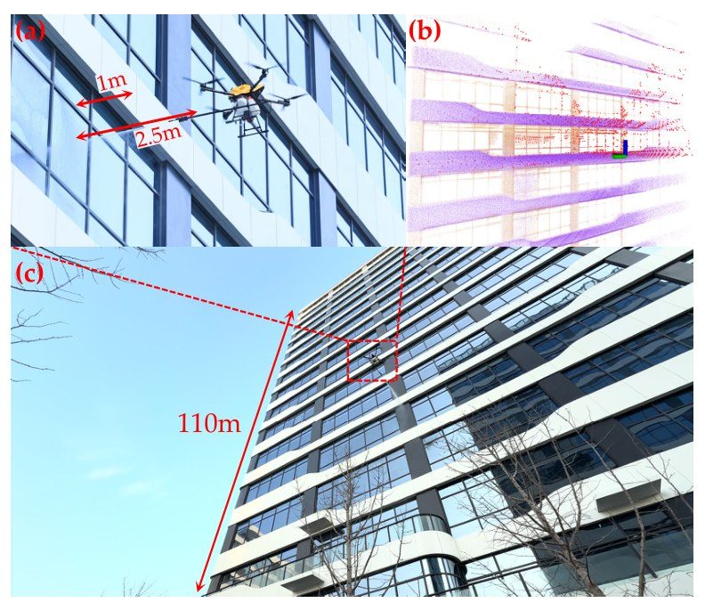
Close-range images of façades and curtain walls to find cracks, loose tiles and other damage, so that people do not have to work at height.
Infrastructure patrol
Routine inspection flights along slopes, bridges and construction sites, comparing images over time to spot changes.
Campus monitoring
Scheduled flights over the campus for mapping and event support, with automatic reports.
Delivery
Small parcel and medical supply delivery for Hong Kong's growing low-altitude economy.
Engineering foundations
The physics and positioning behind a reliable drone.
Rotor thrust
Each propeller gives thrust proportional to the square of its speed; together they must carry the drone and its payload.
Attitude dynamics
How the body turns under the torques from differences in rotor thrust. The flight controller closes this loop hundreds of times a second.
GNSS near tall buildings
Reflections from buildings make the error ε large, so drones also fuse IMU, camera and LiDAR to keep an accurate position.
Photos